Circuit de Monaco
Monte Carlo
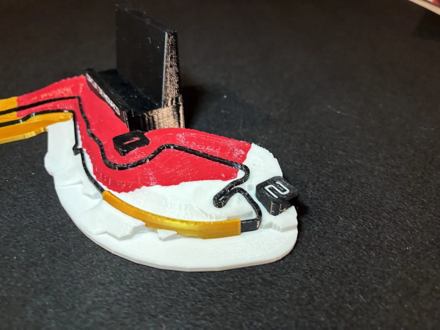
The elevation model reads the Monte-Carlo headland as solid ground, so the road dives straight into it. An abstract gold arch carries the lap through the gap along Portier.
- Lap
- 3.31 km
- Relief along the lap
- 52.7 m
Racing Lines turns real circuits into topographic relief plates. Every contour comes from public elevation data and every corner from the real track centreline, coloured by racing sector so a four-filament printer can lay the timing of a lap down in plastic. Each plate also stands your phone up.

Why the studio built it
Any one of these plates is a nice thing to have on a desk. The part worth a studio page is what produced it: a build that takes a circuit name and returns a printable object, with the judgement calls written down instead of made by hand each time.
That matters because circuits are not a fixed list. A club track can publish dozens of layouts over the same tarmac and advertise most of them in both directions. One build covers that whole family, because a layout is a different colour partition of the same measured ground. Adding a configuration is a description, not another modelling job.
A digital elevation model is pulled from around the circuit, wide enough that the outline never clips flat against the edge of the grid. National LIDAR where a country publishes it, open global models where it does not. Radar data gets read sceptically, because over woodland it measures the canopy rather than the ground.
The lap is assembled from OpenStreetMap ways in racing order, then checked against the published length. Plenty of circuits have no single relation to follow, so the corners get sequenced by hand and verified against the terrain rather than trusted blind.
The terrain becomes a heightfield with a vertical exaggeration chosen per circuit and judged by the slope it produces, not by the multiplier. Zandvoort moves 8.7 m across a lap and Monaco moves 52.7 m, so the same number would flatten one and cartoon the other.
Sectors, ribbon, nameplate and markers come out as separate watertight parts sharing one coordinate system, written to a 3MF with a filament assigned per part. Nothing overhangs, so nothing needs supports.
Shipping
Each one carries a signature the terrain forced the build to solve. Five more are modelled and coming soon: Spa-Francorchamps, Barcelona-Catalunya, Red Bull Ring, Laguna Seca, Interlagos.
Monte Carlo
The elevation model reads the Monte-Carlo headland as solid ground, so the road dives straight into it. An abstract gold arch carries the lap through the gap along Portier.
Netherlands
The two banked corners were found in the data, not drawn. The build cuts a cross-section every few metres and promotes anything over 7 degrees into its own part, which turns out to be exactly Hugenholtz and Luyendijk.

Italy
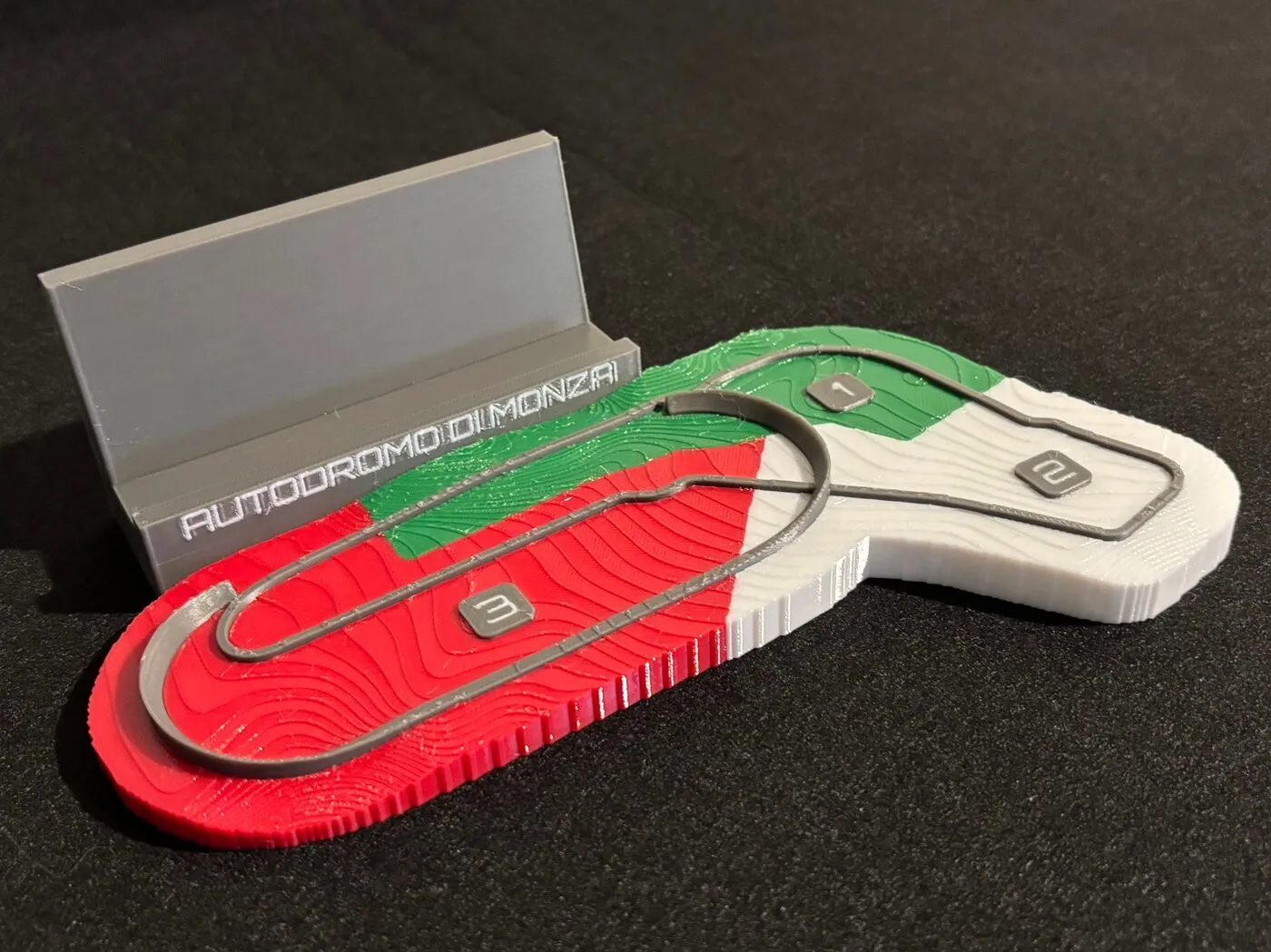
The sopraelevata, the 1955 banked oval. Every bare-earth elevation model strips a viaduct out by definition, so it is rebuilt as geometry from the plan and the documented gradient.
Austin, Texas
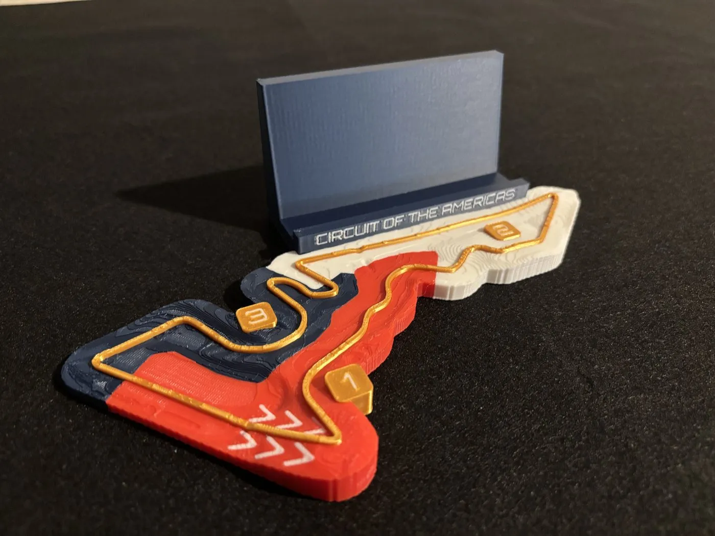
The climb to Turn 1 was found, not drawn. The build walks back from the corner and keeps whatever run stays over five percent: a 246-metre pull climbing 24.1 metres at up to 13 percent. The circuit advertises nearly twenty. The one-metre lidar does not find it, and the plate is the lidar.
Sepang, Malaysia
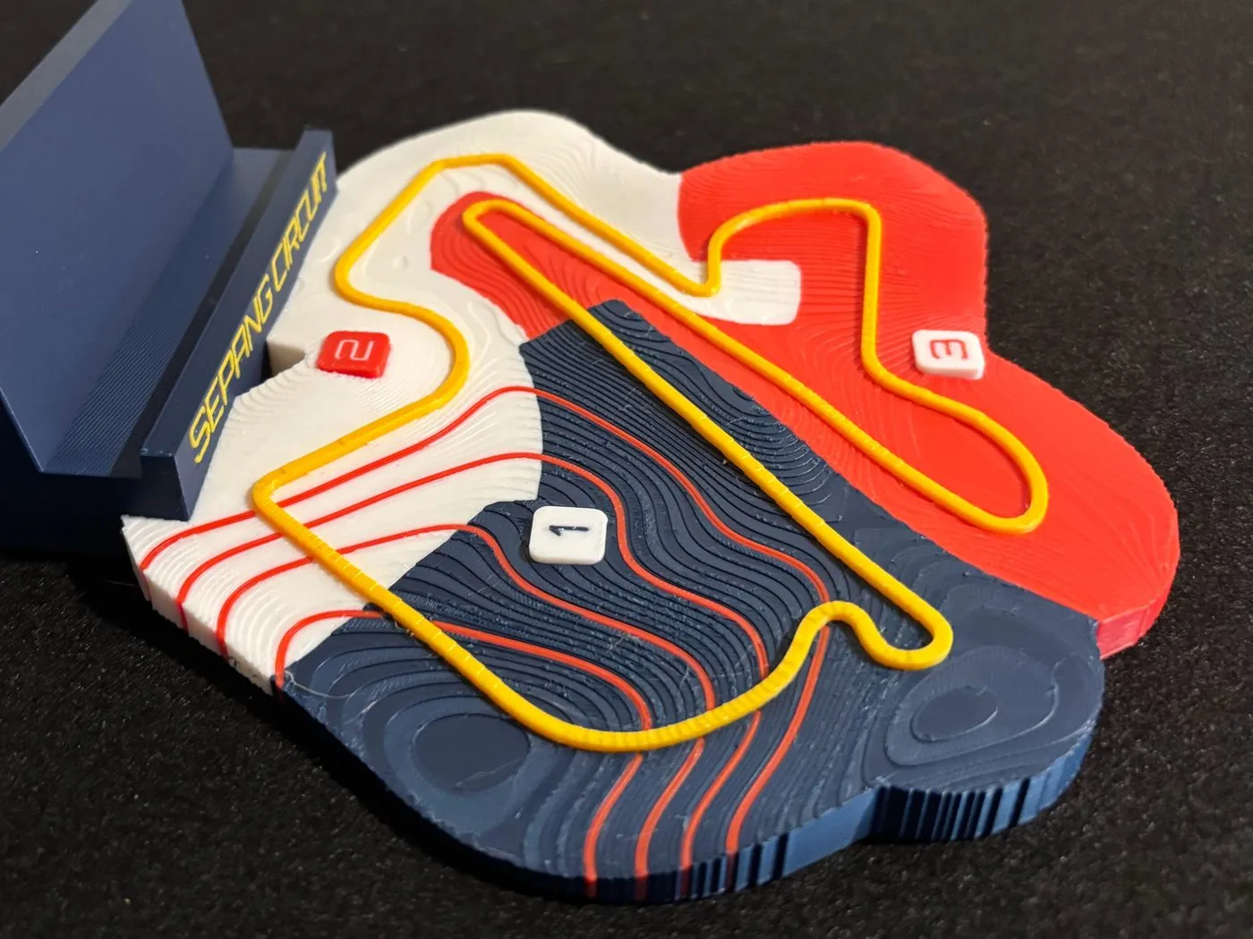
Gentle ground with one feature: a basin at the quarter mark, sixteen metres down and fifteen back up over a kilometre of road, cut in as four contours that follow the ground's own isolines. The terrain is radar, which reads the canopy, so a spaceborne lidar pass checked the descent. The two agree to one percent.
Commissions
The same pipeline builds circuits outside the series, club and national tracks included. Tell us the layout and the direction first, because a lap run backwards looks entirely plausible until someone who races there sees it. That is the single most likely way to build the wrong circuit, so it gets asked rather than inferred.
The elevation gets checked before any quote. It takes minutes, and it answers whether there is a story in that ground at all. If the circuit turns out to be flat, you get told, and the subject becomes the lap and its layout instead of the terrain. The alternative is quietly shipping a hillside that is not there.
Models are published under CC BY-NC-SA 4.0. Centrelines are OpenStreetMap contributors, ODbL. Racing Lines is not affiliated with Formula 1, the FIA, or any circuit operator.